


sales@ziyanuav.com
WhatsApp/Telegram: +85365521828


页面不见了, 4s后自动跳转首页
 sales@ziyanuav.com
 Unit 101, building 2, Zhongdian high tech Industrial Park, Keji seventh Road, Tangjiawan Town, Xiangzhou District, Zhuhai, Guangdong, China


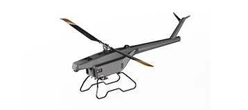
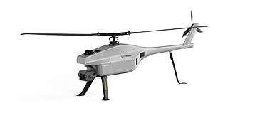
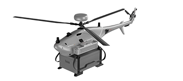
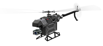
Small and Medium-sized UAVs
Industry-Proven UAV Solutions
Full-Customized Services
Flight Training Services