


sales@ziyanuav.com
WhatsApp/Telegram: +85365521828
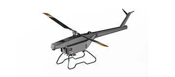
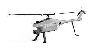
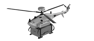
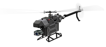
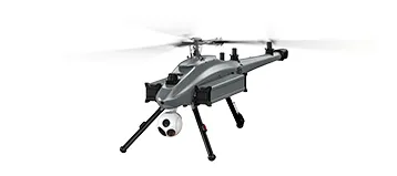


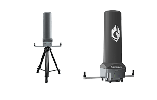
As the demand for high-precision, high-efficiency surveying continues to rise across forestry, mining, transportation, power, and land management industries, unmanned aerial vehicles have become essential tools for modern data acquisition. The ZIYAN F15 UAV, equipped with CHCNAV LiDAR, delivers a fully automated and highly reliable aerial surveying workflow that transforms complex fieldwork into a streamlined digital process.

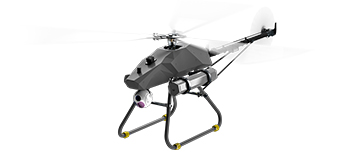
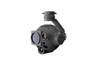
Integrated Surveying Platform: F15 + CHCNAV LiDAR
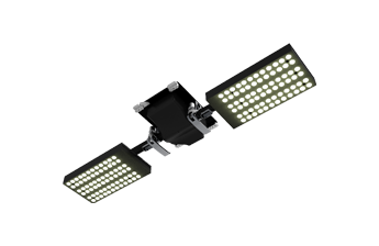
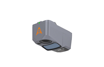
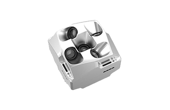
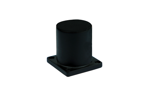
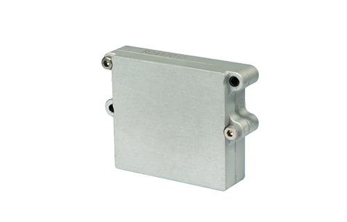
The F15’s robust electric helicopter platform allows it to carry advanced payloads such as CHCNAV’s high-accuracy LiDAR system. Together, they create a powerful surveying solution capable of delivering dense point clouds with exceptional precision, even across challenging terrain and vegetation.
The system supports random stakeout and one-step positioning, enabling surveyors to quickly define target points in the field without repetitive manual setup. This significantly improves operational efficiency and reduces human error.
Automated Mission Workflow
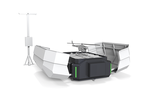
The F15 surveying solution is designed for full automation—from planning to data output.
1. Flight Route Planning
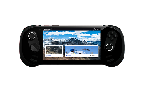
Surveyors can define the mission in advance through F15’s flight planning software. Flight routes, sampling density, and scanning parameters are configured to match the project’s accuracy requirements.
2. One-Key Unlock and Takeoff
Once the mission is uploaded, the F15 executes one-key unlock and takeoff, ensuring rapid deployment and consistent operation.
3. Automatic Route Flight
The UAV follows the pre-planned route with high stability. The electric helicopter platform provides excellent endurance and strong wind resistance, enabling reliable data capture in varied environments.
4. LiDAR Automatic Sampling
CHCNAV’s LiDAR system performs automated point cloud sampling, maintaining uniform scanning density and high-fidelity data acquisition across the entire mission area.

High-Precision Data Processing and 3D Modeling
Following the flight, the LiDAR data undergoes point cloud processing and intelligent modeling. The output delivers:
·High-density point clouds
·Detailed terrain reconstruction
·Accurate modeling of natural and built environments
These outputs ensure realistic and highly accurate scene restoration, providing surveyors with reliable datasets for engineering and decision-making applications.
Multi-Dimensional Measurement Capabilities
With the processed point cloud, the F15 solution supports various measurement types, enabling users to extract key engineering parameters directly from the dataset:
·Angle measurement
·Length measurement
·2D & 3D distance measurement
·Area measurement
·Projected area measurement
A single mission can produce multiple data types, eliminating the need for repeat flights and significantly reducing total project time.

Rich Deliverables from a Single Mission
The system outputs a comprehensive range of professional surveying products:
·Colored point cloud
·3D models
·Topographic maps
·Digital terrain and surface models (DTM/DSM)
These deliverables support diverse industry needs, including:
·Forestry survey
·Topographic mapping
·Mine surveying
·Transportation route investigation
·Power line inspection
Conclusion
The combination of the ZIYAN F15 UAV and CHCNAV LiDAR provides a fully integrated aerial surveying solution built for accuracy, efficiency, and automation. From route planning to intelligent 3D modeling, the system simplifies complex surveying tasks while ensuring consistent, high-quality results. It enables professionals in multiple sectors to access reliable geospatial data—quickly, safely, and cost-effectively.
 sales@ziyanuav.com
 Unit 101, building 2, Zhongdian high tech Industrial Park, Keji seventh Road, Tangjiawan Town, Xiangzhou District, Zhuhai, Guangdong, China


Small and Medium-sized UAVs
Industry-Proven UAV Solutions
Full-Customized Services
Flight Training Services


