





sales@ziyanuav.com
WhatsApp/Telegram: +85365521828


Slope failures rarely occur without warning.
Whether along mountain highways, large dams or tailings storage facilities, ground movement often begins as millimeter-scale deformation that is impossible to detect through visual inspection. By the time cracks become visible, structural instability may already be developing.
Conventional inspection methods—including manual surveys, optical drone imaging and satellite remote sensing—each have limitations in terms of weather dependency, revisit frequency or measurement accuracy.
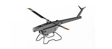
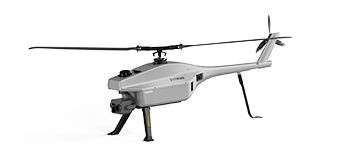
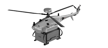
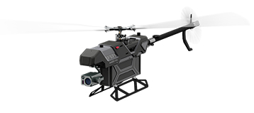
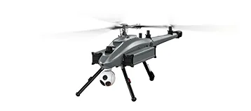
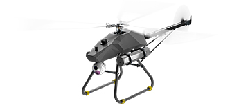
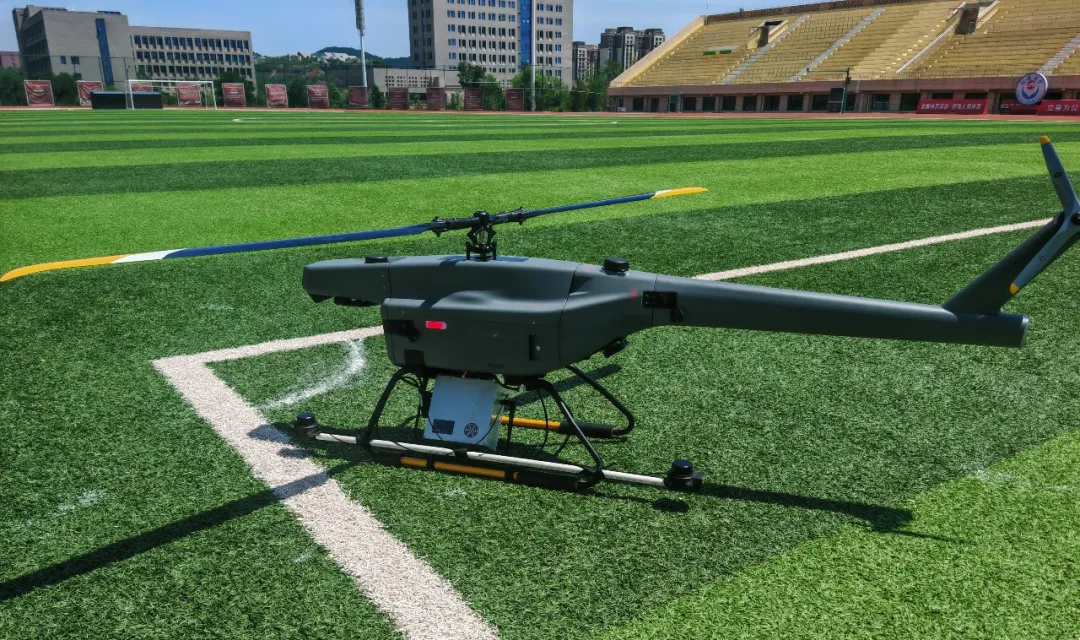
To address these challenges, ZIYAN Technology, together with ecosystem partner LogiSen, has developed an airborne SAR (Synthetic Aperture Radar) deformation monitoring solution based on the ZIYAN F15 industrial unmanned helicopter.
Combining long-endurance UAV operations with advanced Interferometric Synthetic Aperture Radar (InSAR) technology, the solution enables continuous, high-precision monitoring of critical infrastructure and supports early detection of geological hazards before failures occur.
Infrastructure such as highways, reservoirs and mining facilities requires continuous monitoring, yet existing inspection methods leave significant gaps.
Steep slopes, unstable terrain and adverse weather often make hazardous areas inaccessible.
Only limited monitoring points can be surveyed, making it difficult to detect slow ground movement across an entire slope.
Conventional UAVs rely on visible-light cameras.
Rain, fog, darkness and vegetation significantly reduce inspection effectiveness, while surface imagery cannot reveal subtle ground deformation beneath vegetation or shallow soil layers.
Satellite observations provide valuable regional coverage but often suffer from revisit intervals ranging from several days to weeks.
During heavy rainfall or rapidly evolving geohazards, this update frequency may not provide sufficient information for timely decision-making.
Mountainous terrain can also reduce observation quality due to viewing geometry and atmospheric interference.
Unlike optical imaging systems, Synthetic Aperture Radar (SAR) is an active microwave sensing technology.
Instead of relying on sunlight, the radar transmits its own microwave signals, enabling reliable data acquisition under virtually any environmental conditions.
Key advantages include:
SAR imaging remains effective regardless of daylight, cloud cover, rain or fog, providing year-round inspection capability.
Long-wavelength radar signals can penetrate light vegetation, snow cover and thin surface materials, allowing more reliable observation of terrain conditions than conventional optical cameras.
Using Interferometric SAR (InSAR), multiple radar acquisitions of the same area are compared to calculate extremely small ground displacements.
With L-band radar technology, deformation can be measured with sub-millimeter accuracy, allowing engineers to detect gradual movement long before visible structural damage appears.
The F15 provides a stable airborne platform specifically designed for industrial sensing missions.
The aircraft supports payloads up to 5 kg, providing a stable platform for the LogiSen airborne SAR system while maintaining imaging accuracy throughout the mission.
With flight endurance of up to 100 minutes (over 60 minutes with SAR payload installed), a single mission can inspect:
Long highway corridors
Large reservoir areas
Extensive tailings storage facilities
Wide mountain slopes
This significantly reduces launch frequency while improving operational efficiency.
The F15 supports operations at altitudes up to 7,000 m and withstands Level 8 winds, making it suitable for mountainous regions, reservoirs and complex geological environments.
The modular aircraft can be assembled within minutes without specialized infrastructure.
Unlike satellite monitoring schedules, operators can launch the system whenever required, allowing repeat surveys within hours—or even minutes—after significant weather events.
A communication range of up to 30 km enables remote flight planning, autonomous route execution and real-time monitoring of radar system status.
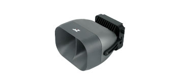
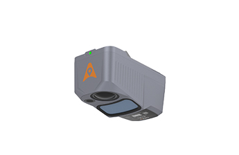
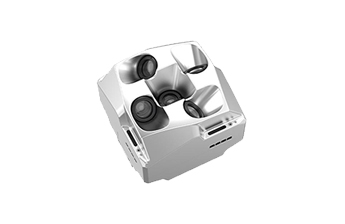
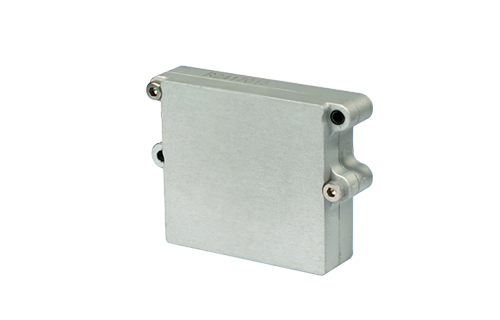
Designed specifically for UAV integration, the LogiSen SAR system combines high imaging quality with simplified operation.
Key capabilities include:
L-band radar for superior vegetation penetration
Two-dimensional phased-array antenna without mechanical gimbal stabilization
Multiple imaging modes, including Stripmap, Spotlight and ScanSAR
Up to 1 m real-time resolution with 0.5 m post-processed imagery
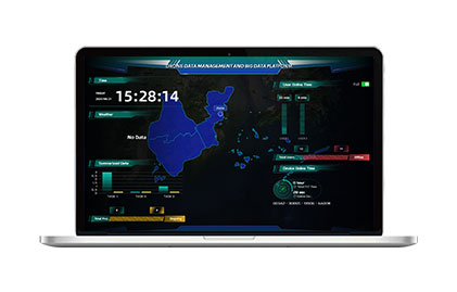
Integrated software covering mission planning, image processing and deformation analysis
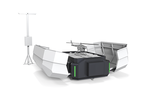
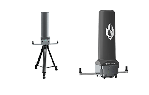
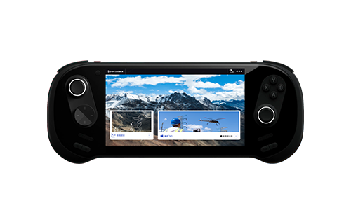
The system consists of an airborne radar module mounted on the UAV and a portable ground control station responsible for mission management and data processing.
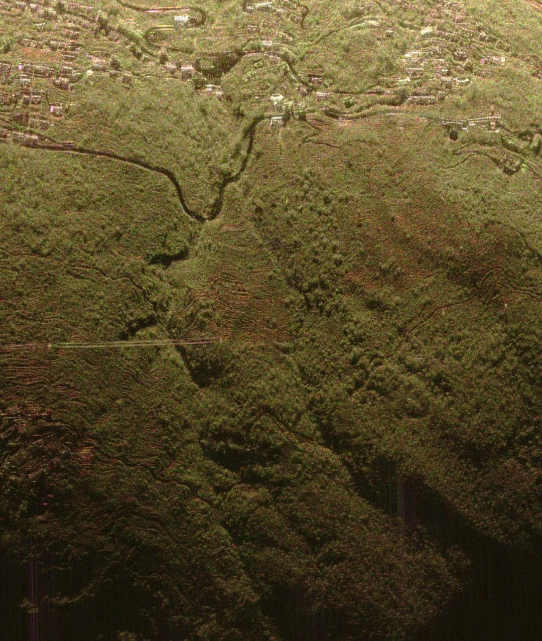
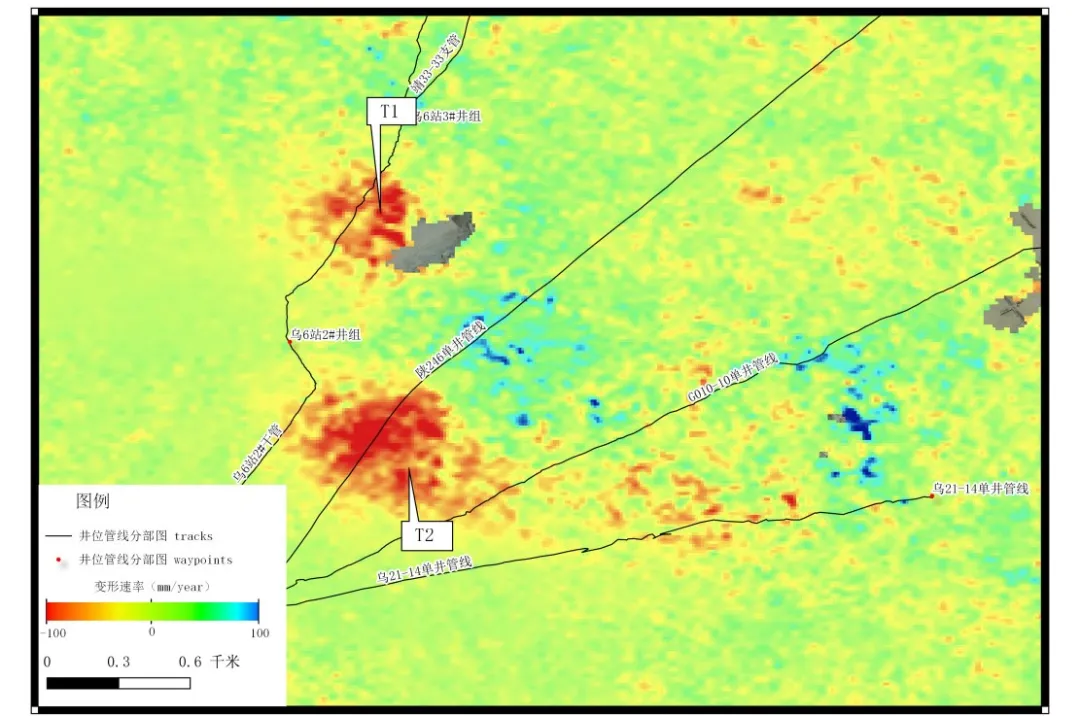
Mountain highways frequently experience gradual slope movement, retaining wall deformation and rainfall-induced instability.
Conventional inspections require lane closures and often fail to identify early-stage deformation.
The F15 autonomously follows predefined flight corridors to collect repeat SAR imagery.
The InSAR software automatically compares historical datasets, identifies millimeter-scale displacement and highlights high-risk areas for engineering inspection.
No road closures required
Continuous corridor monitoring
Early detection of slow-moving landslides
Improved infrastructure safety
Reservoir embankments experience continuous loading from fluctuating water levels, seepage and long-term settlement.
Traditional monitoring methods provide only limited point measurements.
The F15 performs complete aerial SAR surveys covering the dam structure and surrounding slopes.
Following heavy rainfall or rapid reservoir level changes, repeat flights generate deformation maps that distinguish normal settlement from potentially hazardous movement.
Contact-free inspection of hazardous structures
Reliable operation in fog and at night
Millimeter-level deformation analysis
Better decision support for dam maintenance and flood management
Tailings dams are subject to gradual settlement, slope instability and structural failure, particularly following heavy rainfall or capacity expansion.
Ground inspection alone cannot efficiently monitor large storage areas.
The F15 conducts routine SAR inspections covering tailings deposits, containment dams and drainage infrastructure.
The software automatically generates deformation heat maps, allowing engineers to identify unstable areas before failure develops.
Large-area monitoring in a single mission
Reliable imaging despite vegetation or poor weather
Early identification of deformation trends
Enhanced mine safety and environmental protection
Operate continuously regardless of daylight, rain, fog or vegetation, complementing optical and thermal inspection technologies.
Detect imperceptible ground movement before visible damage occurs, enabling preventive maintenance rather than emergency response.
Long-endurance helicopter operations reduce manpower requirements while eliminating the need for personnel to access hazardous terrain.
The lightweight SAR payload and integrated software streamline operation, allowing engineering teams to conduct routine monitoring without extensive remote sensing expertise.
Following heavy rainfall, earthquakes or other geohazard events, operators can immediately deploy the F15 to acquire updated deformation data and support emergency decision-making.
Effective geohazard mitigation begins with identifying the smallest changes before they evolve into major failures.
By combining the ZIYAN F15 industrial unmanned helicopter with the LogiSen airborne SAR system, organizations gain a high-precision, scalable solution for deformation monitoring across transportation infrastructure, hydraulic engineering and mining operations.
The integration of long-endurance UAV capability with advanced InSAR deformation analysis enables infrastructure owners to move from reactive inspections to proactive risk management—improving safety, reducing operational costs and supporting more resilient infrastructure management.
 sales@ziyanuav.com
 Unit 101, building 2, Zhongdian high tech Industrial Park, Keji seventh Road, Tangjiawan Town, Xiangzhou District, Zhuhai, Guangdong, China





Small and Medium-sized UAVs
Industry-Proven UAV Solutions
Full-Customized Services
Flight Training Services


